Recreation
Chippewa River State Trail
The Chippewa River State Trail is part of the Chippewa Valley Trail System. When completed, the trail system will feature an 80-mile network of trail stretching from Cornell, through Chippewa Falls and Eau Claire to Durand and Menomonie. Other trails in the system include the Red Cedar and Old Abe state trails.
The trail may bring a number of different users to the trail at the same time. It is important to use good trail etiquette to ensure the enjoyment and safety of all trail users.
Canoeing and kayaking
The trail is ideal for a bike and paddle trip. Sections of this former rail corridor parallel the Chippewa River. You can paddle downstream and then bike back to your starting point or vice versa. In season, vendors in Eau Claire offer a peddle and paddle option along the trail.
Hunting
The Chippewa River State Trail corridor is open to hunting from State Highway 85 (at Caryville) west, approximately 12 miles, to the intersection with the Red Cedar State Trail during the Wisconsin state parks hunting time frame. For more information, please see:
Walking, bicycling and in-line skating
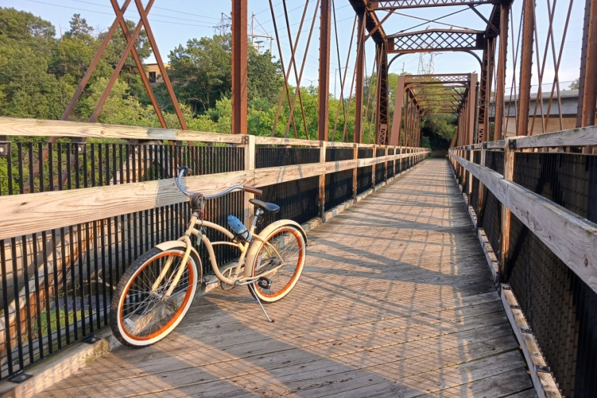
The trail is paved with asphalt from downtown Eau Claire to near Caryville (about 11 miles) to provide for in-line skating as well as biking. From there to its junction with the Red Cedar State Trail, the trail is surfaced with asphalt emulsion suitable for bicycling. The section of the Chippewa River trail in Pepin County (about 6.5 miles) between Durand and the Red Cedar junction is also paved with asphalt. Bridges are wood decked and railed.
No trail passes are required for the Eau Claire city trail or the Pepin County/Durand section, but on the rest of the trail, each bicyclist and in-line skater age 16 and older must have a state trail pass.
Pet owners, please be sure to have your pet on a leash, 8 feet or shorter, at all times. You must pick up after your pet.
Winter activities
Snowmobiles are permitted on the trail from Porterville Road to Durand. Operators must follow all Wisconsin snowmobile laws. The trail also connects to numerous miles of county snowmobile trails.
The opening and closing of snowmobile trails are at the discretion of each county. Snowmobile trails that cross DNR lands are opened and closed consistent with the surrounding county (or counties). Whenever possible, the opening and closing of snowmobile trails are done on a county-wide basis, however, localized conditions may require localized trail opening and closing. It is the responsibility of the county to provide notification about the status of snowmobile trails.
The Travel Wisconsin Snow Conditions Report, local club and county snowmobile webpages and telephone hotlines will provide the most current information.
The trail is open to walking, bicycling, cross-country skiing and snowshoeing; however, the trail is not groomed and users must share the trail with snowmobiles. Skiers do not need a trail pass while using the trail.

