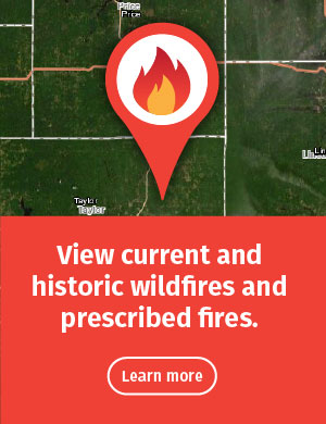
Fire and Fuels Intelligence
The Great Lakes Forest Fire Compact (GLFFC) members developed the Great Lakes Fire and Fuels [exit DNR] site in conjunction with the University of Utah/MesoWest. This site was created to provide a comprehensive fire danger rating system, using the Canadian Forest Fire Danger Rating System (CFFDRS) to assist the fire fighters and fire managers with fire planning on a day-to-day basis. The system provides both tabular and geographical displays to give the user a true picture of current and forecasted conditions using point and gridded data.
Fire weather forecasts
The National Weather Service releases a fire weather forecast [exit DNR] each morning and afternoon. Forecasts are suspended during winter months after snowfall.
- Northwest Wisconsin [exit DNR]
Counties: Ashland, Bayfield, Burnett, Douglas, Iron, Price, Sawyer and Washburn. - Northeast Wisconsin [exit DNR]
Counties: Brown, Calumet, Door, Florence, Forest, Kewaunee, Langlade, Lincoln, Manitowoc, Marathon, Marinette, Menominee, Oconto, Oneida, Outagamie, Portage, Shawano, Vilas, Waupaca, Waushara, Winnebago and Wood. - West Central Wisconsin [exit DNR]
Counties: Barron, Chippewa, Dunn, Eau Claire, Pepin, Pierce, Polk, Rusk and St. Croix. - Southwest & North Central Wisconsin [exit DNR]
Counties: Buffalo, Crawford, Grant, Jackson, La Crosse, Monroe, Richland, Trempealeau, Vernon, Clark, Taylor, Adams and Juneau. - Southeast Wisconsin [exit DNR]
Counties: Columbia, Dane, Dodge, Fond du Lac, Green, Green Lake, Iowa, Jefferson, Kenosha, Lafayette, Marquette, Milwaukee, Ozaukee, Racine, Rock, Sauk, Sheboygan, Walworth, Washington and Waukesha.
In addition to fire weather forecasts, many other sources of weather and forest-fuel related information exist that can help firefighters prepare for and predict what fire behavior to expected on a given day. The Northland Fire Monitor page [exit DNR] contains links to some of these resources, as well as long-term forecasts for Wisconsin.