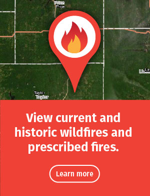
Fire Management Dashboards
The dashboards below show information about wildfires and prescribed fires across the state. They include real-time and historic data. Select, filter and query the data for location- and date-specific information. You can also select, query and export fire data to use in other web mapping applications like ArcGIS Online (AGOL).
Wildfire Dashboard
See statewide real-time and historic wildfires. Take a closer look at the specifics of emerging wildfires, including acres burned, causes, weather conditions and more. You can also select date ranges or locations to view the number of wildfires and acres burned. Wildfire data are available from 2012 to present.

Prescribed Burn Dashboard
See planned, real-time and historic prescribed fires. You can view the specifics of any prescribed fire conducted on DNR land. You can also look at prescribed fires within specific date ranges or locations. Prescribed burn data are available from 2019 to present.