State Trails
Wisconsin State Park System
Web-mapping App Updates:
What’s new with DNR’s web-mapping applications?
We are excited to announce that the DNR’s web mapping applications have been upgraded with more secure and modern technology! While the design may look different, the functionality you rely on remains the same.
For best results, use up-to-date devices, operating systems and internet browsers. If you are having difficulty viewing or interacting with a DNR web-map, try these web browser tips.
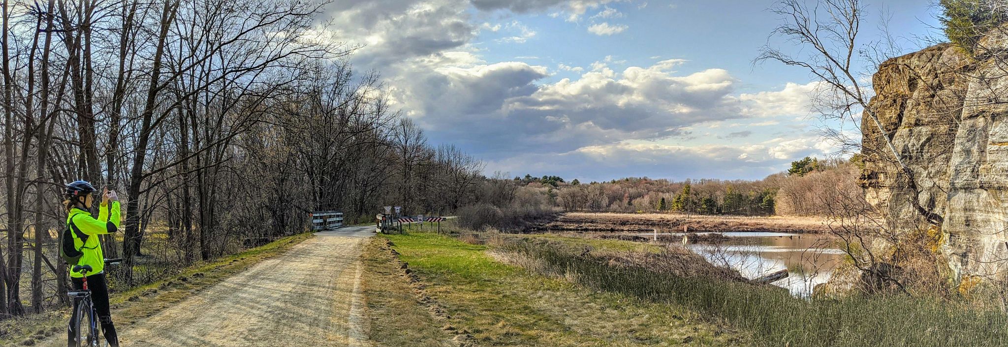
 Biking the 400 State Trail Photo credit: DNR
Wisconsin has 44 State Trails open to the public. There are 43 land-based trails covering more than 1,700 miles. Thirteen of these trails are managed by the Wisconsin Department of Natural Resources, and 27 are managed by county partners. Two trails are National Scenic Trails. The State Trail system also includes one water-based trail - the Lake Michigan State Water Trail, which extends along Wisconsin's Lake Michigan shoreline. In 2009, Wisconsin's State Trails were dedicated as the "Aldo Leopold Legacy Trail System."
Wisconsin State Trails Network Plan
Initially approved in 2002 and updated in 2003, the Wisconsin State Trails Network Plan describes a vision of a statewide network of interconnected rail trails into which smaller state, county, municipal, partnership and private trails feed; and provides guidance to the Wisconsin Department of Natural Resources for land acquisition and development.
In response to a request from the Legislative Trails Caucus, the DNR has released an update to the Trails Network Plan that brings the plan's information to a new, more user-friendly format. The Trails Network Plan update is an interactive web map that allows users to see the potential trail corridors identified in the 2002 Plan and those corridors that have been developed into state and local trails. As part of this release, the DNR also requested input from the public during the summer of 2023 to share which developed trail corridors are presently used, which trail corridors may be used in the future, and how these trail corridors are used or may be used.
View the Interactive Trails Network Plan Map (2023 Update)
Note: The interactive Trails Network Plan Map is best viewed on a tablet, laptop or desktop computer. The platform will function on mobile devices, but the user experience may be slightly diminished.
More Information:
- Trails Network Plan Frequently Asked Questions
- Legislative Trails Caucus Request
- Wisconsin State Trails Network Plan (2003)
U.S. Bicycle Route System
The United States Bicycle Route System is a network of long-distance bicycle routes across the country linking urban, suburban and rural areas. A bicycle route may include shared-use trails, paved shoulders, bike lanes and shared road lanes.
In Wisconsin, U.S. Bicycle Routes 30 and 230 travel east to west, connecting Milwaukee to Minnesota. These routes travel over 170 miles of state trails, including the Hank Aaron, Glacial Drumlin, Capital City, 400, Elroy-Sparta, La Crosse River and Great River state trails.
Rail trails
Most of Wisconsin's 43 State Trails are rail trails - trails that have been converted from former railroad corridors into recreational trails. In 1965, the Elroy-Sparta State Trail became the first rail trail in the country. Since then, 39 other rail trails have been developed by the state, as well as dozens of others by local communities in Wisconsin.
Cooperative trails
The 25 State Trails that are managed by county partners are considered cooperative trails. Cooperative trails allow the Department of Natural Resources and county partners to work together to preserve corridors for trail purposes. For most cooperative trails, the department owns the land, while the counties develop, maintain and operate the trail.
- Cooperative State Trail easement
- Cooperative State Trail Memorandum of Understanding
- Rail-to-Trail process
Funding for Wisconsin's Trails
This manual features a variety of funding sources available for trail development and maintenance in Wisconsin. The manual is designed to empower trail advocates to access financial support from state, federal and private sources to develop trails in their communities.
