DNR Web Map Application Help
Locating Open MFL and FCL Land, Displaying Information and Downloading Maps
Displaying Forest Tax Law (MFL, FCL and Access Point) Data
To display Forest Tax Law (MFL, FCL and Access Point) data:
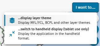
Select the ‘I want to...’ button and select ‘...display layer theme’.
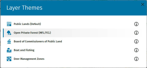
Choose the 'Open Private Forest (MFL/FCL)' option. The map will display pre-set layers of open MFL and FCL enrollments and PLSS Quarter-quarters.
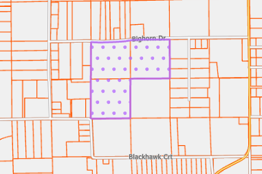
Zoom in on the map to display MFL/FCL symbology.
OR
Open the layer list and check the ‘Private Forest Lands Open for Recreation’ layer.
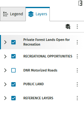
- If needed, turn on the PLSS layer manually as well.
Zoom in on the map to display MFL/FCL symbology.
Displaying MFL and FCL Information
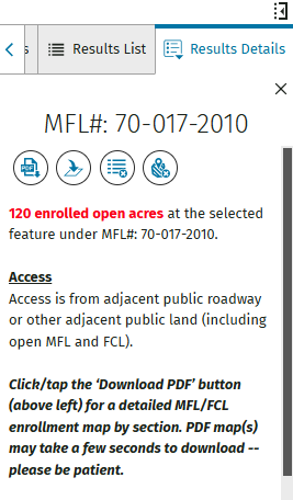
Using the map 'Identify' tool, select MFL, FCL or Access Point symbology on the map. Information about the selected point will display in the results list.
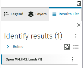
Select a specific result from the list to display abbreviated results details. Select that result again to open the complete results details.
If desired, open a PDF of the selected private land by selecting the PDF icon located on the left side of the icon list. The PDF will download to your computer. Depending on your browser, the download may appear in the upper right or be listed next to the URL box. PDF downloads may take a few seconds to complete.