Northeast Lakeshore Volunteer Monitoring Program
Northeast Lakeshore TMDL
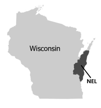
The U. S. Environmental Protection Agency (EPA) approved the Northeast Lakeshore Total Maximum Daily Load (TMDL) on Oct. 30, 2023. Implementation of the TMDL aims to improve water quality by reducing total phosphorus (TP) and total suspended solids (TSS) in waterbodies along Wisconsin’s eastern shoreline. To help achieve some of the monitoring goals outlined in the TMDL, the Northeast Lakeshore (NEL) Volunteer Monitoring Program started in 2023.
Want to get involved? The DNR is always looking for new, energetic, and motivated volunteers. If you are interested in volunteering, please contact Katherine Rynish, DNR Northeast Lakeshore Volunteer Monitoring Program Coordinator.
About The Volunteer Program

The program relies on volunteers to collect surface water samples monthly. Volunteers follow Water Action Volunteer (WAV) sampling protocols and report to the program coordinator to ensure consistency is being met in each sample. Samples are sent to the Wisconsin State Lab of Hygiene for sample analysis and results are sent to the program coordinator for data analysis. All sampling equipment, shipping materials and training are provided by the DNR.
Volunteer Program Specifics
The Northeast Lakeshore Volunteer Monitoring Program has nineteen monitoring sites on seventeen different streams and rivers across three major river basins: Kewaunee, Manitowoc and Sheboygan. The streams and rivers are monitored every month, May through October, during the primary algae and macrophyte growing season to track nutrient levels. Volunteers collect surface water samples which are analyzed for Total Phosphorus (TP), Total Suspended Solids (TSS), Dissolved Reactive Phosphorus (DRP) and Total Nitrogen (TN). In addition to collecting surface water samples, volunteers also measure streamflow and turbidity.
Nutrient And Sediment Impacts
To meet Wisconsin’s water quality criteria, tributary streams must have a median phosphorus concentration of less than 0.075 mg/L, and rivers must have a median phosphorus concentration of less than 0.100 mg/L. Waters that do not meet criteria are classified as impaired. Wisconsin does not have a total suspended solids water quality criteria, but the Northeast Lakeshore TMDL identifies a total suspended solids target of 12mg/L. All seventeen of these streams are impaired for excess total phosphorus (TP) and/or total suspended solids. Excessive phosphorus and suspended solids can have major impacts on stream and river health. Nuisance algal blooms, reduced fish habitat, low aquatic plant density and water clarity problems are just a few of the impacts that can be seen.
Program Goals
- Engage the public in citizen science and bring public awareness to the water quality issues in the Northeast Lakeshore region.
- Collect accurate and reliable data.
- Evaluate nutrient and sediment concentrations in the rivers, streams, and tributaries in the Northeast Lakeshore region.
- Monitor the health of the watershed over time at a regional scale.
- Evaluate the long-term effectiveness of implementation of the Northeast Lakeshore TMDL.
Streams
- Ahnapee River
- Branch River
- Devils River
- East Twin River
- Fisher Creek
- Kewaunee River
- Mullet River
- Onion River
- Pigeon River
- Pine Creek
- School Creek
- Silver Creek (Kewaunee County)
- Silver Creek (Manitowoc County)
- Sheboygan River
- South Branch Manitowoc River
- Stoney Creek
- West Twin River
Results
- Interactive Water Quality Data Spreadsheet [xlsx]
- 2024 Northeast Lakeshore Volunteer Monitoring Annual Report
- 2024 Northeast Lakeshore Volunteer Monitoring Summary
- 2023 Northeast Lakeshore Volunteer Monitoring Annual Report
- 2023 Northeast Lakeshore Volunteer Monitoring Summary
Volunteer Resources
- Northeast Lakeshore Volunteer Monitoring Fact Sheet
- Northeast Lakeshore Volunteer Manual
- Water Action Volunteer
- Thanks to WAV for funding and support of the Northeast Lakeshore Volunteer Monitoring Program
- Streamflow Worksheet
- Volunteer Agreement Form