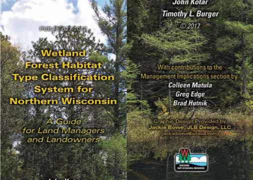
Wetland Forest Habitat Type Classification System for Northern Wisconsin

Forest habitat type classification is a system based on detecting repeatable patterns in the composition of understory vegetation. In contrast to upland forests, our understanding of wetland forest ecosystems is limited. As emeritus professor of forest ecology from University of Wisconsin-Madison, John Kotar developed an ecological classification system for Wisconsin. The wetland forest habitat type project is an effort to complete the ecological classification of Wisconsin's forest ecosystems for both wetland and upland forests. Using this guide, resource managers can further assess nutrient availability and other site characteristics that help in choosing management alternatives.

The guide is divided into five independent sections—regional descriptions, management implications, plant identification, methodology and appendices. The regional sections contain identification keys and detailed descriptions for all five habitat type regions [PDF] for the 19 wetland forest habitat types. The management implication section describes the site potential and management, hydrology and operability for the productivity groups that contain the 19 habitat types. The plant identification section provides detailed illustrations for most species in the habitat types, and the methodology and appendices sections contain a historic overview of the project, maps and plant checklists.

View the guide

At this time, a printed version of this guide is not available. Before printing, check to see if your printer will print in a "booklet" format. If so, you'll be able to print two guide pages on each side of a single sheet of paper.

Chapter Title Pages Description
Complete Guide [PDF] 1–251 View the entire guide (251 pages).
Section 1: Introduction [PDF] 2–11 Information about the guide.
Section 2: Region 1 [PDF] 12–32 Barron, Burnett, Polk and Washburn counties.
Section 3: Region 2 [PDF] 13–55 Bayfield and Douglas counties.
Section 4: Region 3 [PDF] 56–94 Ashland, Florence, Forest, Iron, Langlade, Lincoln, Oneida, Price, Rusk, Sawyer, Taylor and Vilas counties.
Section 5: Region 4 [PDF] 95–127 Door, Marinette, Menominee, Oconto and Shawano counties.
Section 6: Region 5 [PDF] 128–150 Clark and Marathon counties.
Section 7: Management Implications [PDF] 151–166 Information on how to identify ecological opportunities and limitations for management on specific sites.
Section 8: Plant Identification [PDF] 167–230 How to identify the species used in the habitat type keys and some additional common forest plants.
Section 9: Methodology of System Development [PDF] 231–242 Methods used to develop the guide.
Appendices [PDF] 243–250 Additional resources.

Keys for quick printing

View the keys and a checklist from the guide using the PDF links in the table below.

Title Number Description
Region 1: Key to Wetland Habitat Types [PDF] 1-4 Barron, Burnett, Polk and Washburn counties.
Region 2: Key to Wetland Habitat Types [PDF] 2-4 Bayfield and Douglas counties.
Region 3: Key to Wetland Habitat Types Key A [PDF] 3-6 Ashland, Florence, Forest, Iron, Langlade, Lincoln, Oneida, Price, Rusk, Sawyer, Taylor and Vilas counties.
Region 3: Key to Wetland Habitat Types Key B [PDF] 3-8 Ashland, Florence, Forest, Iron, Langlade, Lincoln, Oneida, Price, Rusk, Sawyer, Taylor and Vilas counties.
Region 4: Key to Wetland Habitat Types [PDF] 4-4 Door, Marinette, Menominee, Oconto and Shawano counties.
Region 5: Key to Wetland Habitat Types [PDF] 5-4 Clark and Marathon counties.
Appendix 4: Species Checklist for Field Use [PDF] 9-8 Field checklist of common plant species found in habitat types.