Northern Lake Michigan Coastal Ecological Landscape
Regional Master Plan
This regional plan covers the Northern Lake Michigan Coastal Ecological Landscape and includes wildlife areas, state parks, natural areas, state forests and fishery areas within five counties: Door, Oconto, Marinette, Waupaca and Shawano. These lands contain a wide variety of habitat, including the Niagara escarpment, wetlands, bogs, forests and sand dunes, while providing for year-round recreation opportunities.
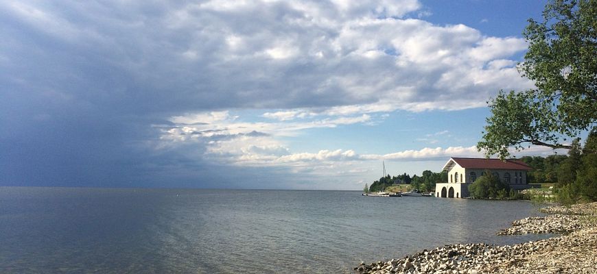
Boat House at Rock Island State Park.
Regional Master Plan
The Northern Lake Michigan Coastal Regional Master Plan was approved by the Natural Resources Board in August 2018.
Amendments and Variances
The following amendments and variances to the regional plan have been approved.
- Peninsula State Park Eagle Tower Parking Variance (2025) [PDF]
- Peninsula State Park Trailhead and Storage Facilities Variance (2025) [PDF]
- Newport State Park Dark Sky Amphitheater Variance (2025) [PDF]
- Peninsula State Park Eagle Bluff Lighthouse Variance (2024) [PDF]
- Newport State Park Equestrian Use Variance (2024) [PDF]
The interactive map below shows many of the larger, more popular DNR properties in the Northern Lake Michigan Coastal region. View all properties in the region and access additional map data with the Property Planning Viewer.
Access a full-screen version of the Interactive Map of Northern Lake Michigan Coastal Regional Master Plan Properties. If the map is not loading, be sure your pop-up blocker is turned off.