Chippewa Flowage
Joint Agency Management Plan
In August 2000, the DNR, United States Department of Agriculture Forest Service (USFS) and the Lac Courte Oreilles Band of Lake Superior Chippewa (LCO) ratified the Chippewa Flowage Joint Agency Management Plan. The plan was collaboratively developed to provide information and guidelines for each party to consider in planning, designing and implementing management activities on their properties and other areas within their respective jurisdictions in the flowage management area.
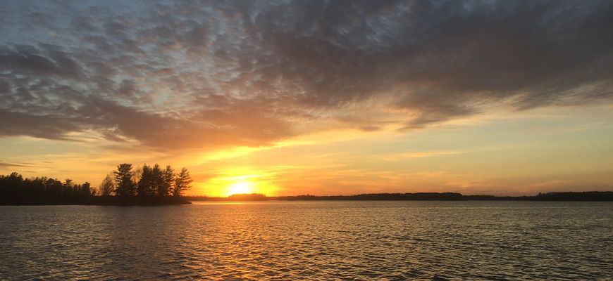
The Chippewa Flowage is a 15,300-acre impoundment located in central Sawyer County, 15 miles east of Hayward. Dotted with about 200 undeveloped islands, it is Wisconsin's third-largest lake and boasts a highly irregular, wooded and generally undeveloped 233-mile shoreline. The islands and surrounding shorelands on the flowage are owned by public, tribal and private landowners. The flowage supports a wide range of popular recreational opportunities, is important to the local economy, and includes culturally significant sites and features.
Planning Update
In Winter 2024-2025, the DNR, in conjunction with the Lac Courte Oreilles Band of Lake Superior Chippewa (LCO) and the United States Forest Service (USFS), requested public comments during a scoping public input period for the Chippewa Flowage plan update process.
A summary of the input received is now available.
The department, LCO and USFS are now in the process of drafting the updated Chippewa Flowage Joint Agency Management Plan. When complete, the public will have the opportunity to review and comment on the document before a final version is submitted to each agency for approval. Click the link above to sign up to receive email updates regarding this project.
Additional questions or comments regarding this planning process may be submitted to:
Erin Rieser, DNR Property Planning Section Manager
Email: ErinE.Rieser@wisconsin.gov
Phone: 608-400-6171
René Buys, DNR Property Planner
Email: ReneJ.Buys@wisconsin.gov
Phone: 608-982-1688
Brett McConnell, LCO Environmental Specialist
Email: Brett.McConnell@lco-nsn.gov
Phone: 715-634-0102 (ext. 7726)
N. Ginger Molitor, USFS District NEPA Planner
Email: Nicole.G.Molitor@usda.gov
Phone: 715-638-0272
Additional Information About Chippewa Flowage Planning
Documents
Public Involvement
In Summer 2022, DNR held a scoping public input period for the North Central Forest Regional Master Plan, which invited the public to share their comments on the future use and management of DNR properties in the region and to help identify topics that should be addressed in the plan. This included the Chippewa Flowage. Read the Initial Public Input Summary for the North Central Forest [PDF]. Comments specific to the Chippewa Flowage are summarized on page 5.