Pershing Wildlife Area
Pershing Wildlife Area is approximately 8,800 acres located in northwestern Taylor County. The wildlife area is located north of Gilman and west of State Highway 73 and is comprised of two units bisected by County Highway M. The wildlife area encompasses over 1,000 acres of wetlands (including runoff ponds, potholes and 17 flowages) and approximately 3,000 acres of shrub-grassland. This landscape provides excellent opportunities for Hunting, Trapping, Birding/Wildlife Viewing, and more. Gravel roads throughout the property provide easy access for all recreational activities.
Management Objectives
Established in 1953 as public hunting grounds leased from Taylor County. In 1960, the county donated 3,400 acres of land to state management and the wildlife area has more than doubled in size since then. The property is managed for open wetland, grassland, and brush-prairie species. The forested acreage is managed for ruffed grouse and other upland game and non-game species.
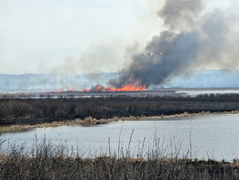
There are many active prescribed burn units on the property to maintain the open landscape to provide nesting cover for waterfowl adjacent to wetlands and habitat for upland species.
Sharp-tailed grouse, a species of Special Concern in Wisconsin, are occasionally seen on the Pershing Wildlife Area. Only a remnant number of sharp-tailed grouse exist on the wildlife area today due to land use changes surrounding the property.
Visit the property planning for more information on master planning for this and other wildlife areas around the state.
Recreation
The Pershing Wildlife Area offers many recreational opportunities:
- Birding
- Boating (non-motorized)
- Canoeing
- Cross-country skiing (no designated trail)
- Fishing (limited)
- Hiking (no designated trail)
- Hunting (note closed areas on map)
- Kayaking
- Snowmobiling (marked trails)
- Trapping
- Wild edibles/gathering
- Wild rice harvesting
- Wildlife viewing
Amenities
- Bathroom - none.
- Parking lot - Multiple parking areas are available.
- Campground and size - none.
- Trails, Types and Lengths - No designated trails.
- Other amenities - There is a gravel boat launch at Shoulder Creek Flowage.
Maps
Download maps of this property. Northern section and southern section.
If you are interested in exploring this property further, you can access an interactive map.
Find out more about how to adopt this wildlife area.


